Hydrographic and Geophysical Surveys
Employing Advanced Survey Technologies to Map and Analyze the Seabed
The measurement and mapping of water depths, contours and physical features of the seabed is of fundamental importance to the many types of dredging, marine infrastructure, and aquatic habitat projects we are engaged on.
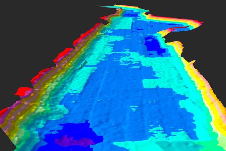
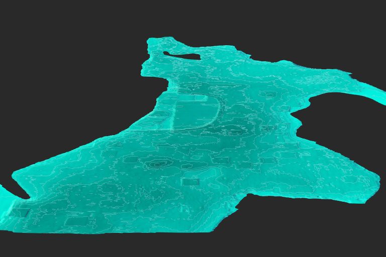
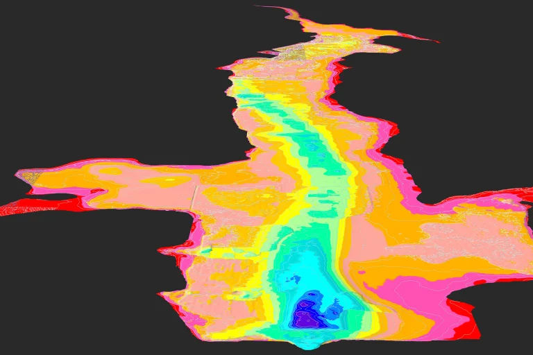
In offshore, coastal, estuarine, and inland waterbodies, we employ a range of advanced survey technologies to acquire elevation and feature data of relevance to our clients’ projects. With quality survey data, Lally LLC marine mapping and GIS professionals create 2D and 3D visualization products and perform geo-spatial analysis for a wide range of project planning, engineering and construction applications.
Lally LLC conducts hydrographic and geophysical surveys at sites around the world, often in conjunction with our engineering and construction work. The types of survey assignments we undertake include;
- Multibeam and Single Beam Echo Sounder
- Side Scan Sonar
- Magnetometer
- Sub-bottom Profiling
- Current Velocity Profiling
- Combined Data Collection
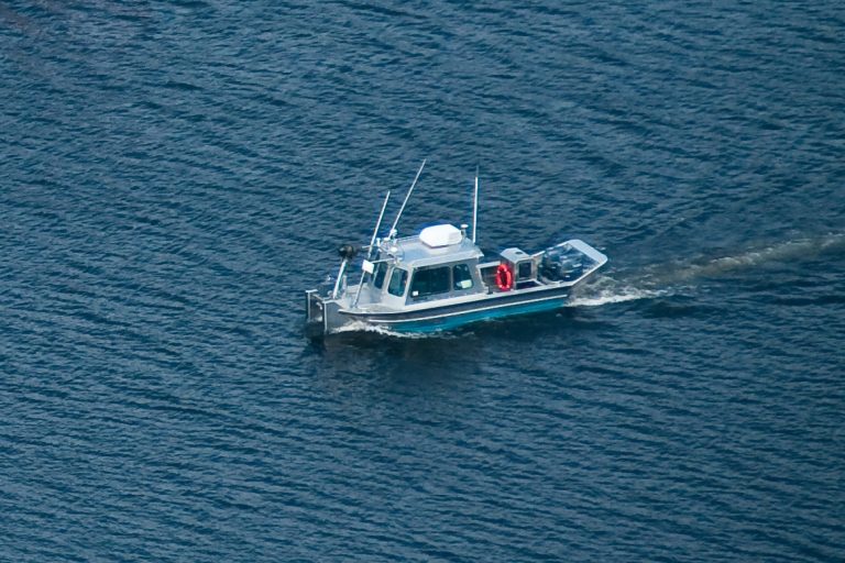
Typically, we subcontract regional hydrographic surveyor professionals for the field data collection, while our coastal engineers, marine mapping and GIS personnel establish the parameters of the surveys, perform post-processed data analysis, and develop engineering and construction mapping products using the survey data. In other cases, such as remote or sensitive sites, we may deploy in-house and/or rented portable survey equipment from local vessels of opportunity, or portable survey platforms.
Depending on site conditions and project type, we commission Multibeam Echosounder (MBES) or Single Beam Echosounder surveys for collection of high-quality bathymetric survey data.
More about the Hydrographic Survey Systems we employ
Lally has been applying advanced Multibeam Echosounder (MBES) surveys to critical dredging and marine infrastructure for over two decades. These systems emit 256 – 512 beams in a fan shape beneath the survey vessel allowing for the capture of large swaths of data at up 200,000 soundings per second. While the data processing and management can involve more effort, MBES surveys provide the highest quality data and greatest resolution for Bathymetry, Volumes Analysis, and even Surface Feature Identification. MBES does have limited shallow-water capability, however, and is more costly than more basic echosounder methods due to sophistication of the equipment and processing time of the large amounts of data collected.
Single Beam Echosounder (SBES), as the name implies, collects data with a single beam directed downward from the survey platform. Track lines are spaced a pre-determined distance, (e.g. 5-, 10-, 20-ft), depending on a range of variables including survey use/project type, coverage area, bathymetry variability and required accuracy. The track line spacing determines the density of data collected and therefore, by interpolation between collected data points, its resolution and accuracy. SBES can be operated in shallower water, up to 2-4 ft depth, and is the lowest cost solution for basic bathymetric data collection. Lally has operated single-beam, dual frequency echosounders, associated velocity profilers and other calibration equipment, motion compensators, DGPS and RTK-GPS positioning, and data collection software for dredging and coastal engineering projects since the early 1990s.
For the most challenging zone, between offshore and the shoreline, a.k.a nearshore, we supplement hydrographic survey data with overlapping topographic or aerial survey systems with appropriate accuracy levels.
Lally LLC can recommend the best hydrographic survey approach for your project, establish survey specifications, and are skilled in developing a range of 2D, 3D and 4D mapping and geo-spatial analysis products using the acquired survey data and software systems including HYPACK, AutoDesk, CARIS and Qinsy (Fledermaus).
Typical Hydrographic Survey applications Lally has undertaken for our clients include;
- Reconnaissance (Pre-Bid) Surveys
- Under Keel Clearance (UKC) Evaluation
- Pre-, Progress and Post- Dredging Surveys
- Beach, Barrier Island and Wetland Surveys
- Offshore Borrow Area Surveys
- Surf Zone Surveys
- Capping and Fill Surveys
- Volume Calculations
- Sedimentation Processes Studies
- Scour Analysis
- Debris, Obstruction and Asset Detection
- Marine Infrastructure Siting
- Marina Planning
- Dredge Performance Analysis
- Route and Access Planning
- Baseline Conditions Survey
- Post-Construction Monitoring Surveys (Time-series)
We also have experience and are growing capability in Light Detection and Ranging (LiDAR) and UAV (Drone) Surveys for area-wide nearshore and shoreline surveys.
We employ Side Scan Sonar (SSS) surveys over larger coverage areas to detect and map obstructions, hazards or other features protruding from the seabed. SSS systems transmit signals sideways across the seabed, analyzing their return echoes to detect hard objects.
Mapping and geo-spatial analysis of side scan sonar survey data is performed with assorted software tools and applied experience.
Typical SSS survey applications include;
- Underwater Search & Recovery (SAR)
- Obstruction and Hazard Detection
- Debris Clearance for Navigation Dredging, Fill and Environmental Concerns
- Underwater Infrastructure Inspections and Mapping
- Seafloor Classification
- Aquatic Habitat Mapping
Lally LLC specializes in the collection of subsurface geotechnical data for a wide range of marine infrastructure projects.
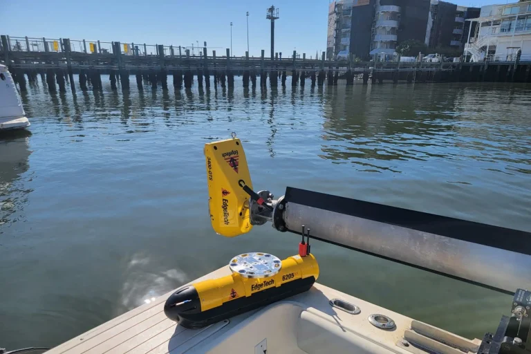
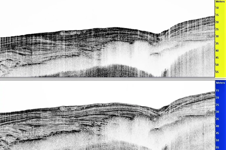
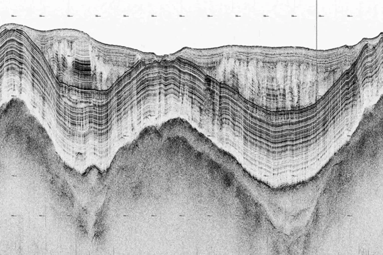
Sub-bottom profiling is one technology we apply on projects where mapping of geologic stratigraphy and features below the surface of the seabed is useful, or necessary. It is also possible to detect geophysical and hydrogeological information (i.e. sediment type determination) using this technology.
The sub-bottom profiler systems we employ provide an acoustic sub-seabed profile in line with the tow path, are tailored for different survey applications, readily deployed, and can be integrated with other data collection systems.
Typical applications include;
- Offshore and Riverine Borrow Source Delineations for Beach and Wetland Restoration
- Channel and Berth Deepening Area Sub-bottom Characterization
- Sediment Type Determination
- Sedimentation Patterns in Rivers, Lakes and behind Dams
- Imaging of Buried Pipelines
- Contaminated Sediment Inventory Line-of-Evidence
- Offshore Mining Studies
- Offshore Wind Turbine Foundation Analysis
- Offshore and Nearshore Pipeline Route Surveys
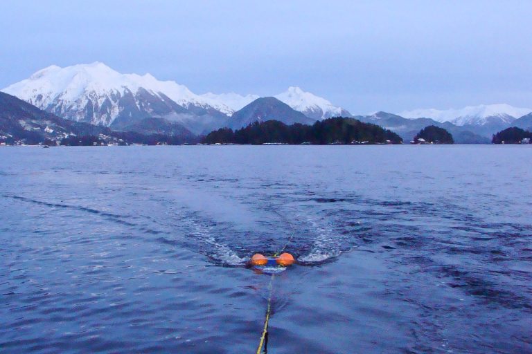
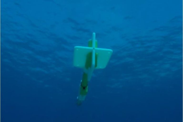
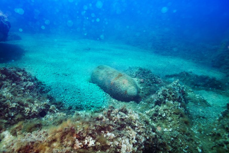
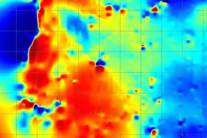
Magnetometer surveys are applied at sites to detect submerged ferrous objects such as unexploded ordnance (UXO), pipelines and other underground utilities. We own and have access to underwater magnetometer systems ranging from handheld to more advanced systems for larger areas of coverage. Processing and analysis of magnetometer survey data is done in-house, with assorted software tools and applied experience.
Typical magnetometer survey applications include;
- Offshore Borrow Source Surveys
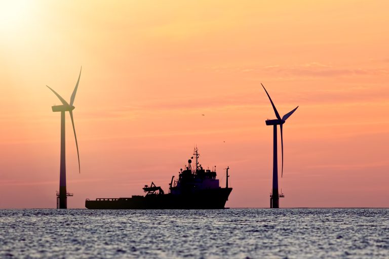
- Offshore Wind Turbine Siting Analysis
- Unexploded Ordnance (UXO) Surveys
- Pipeline Corridor and Landfall Surveys
- Marine Archaeology and Wreck Surveys
- Nearshore and Shallow Water Recovery of Metallic (Ferrous) Objects
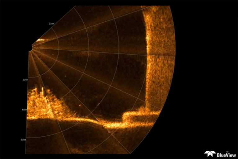
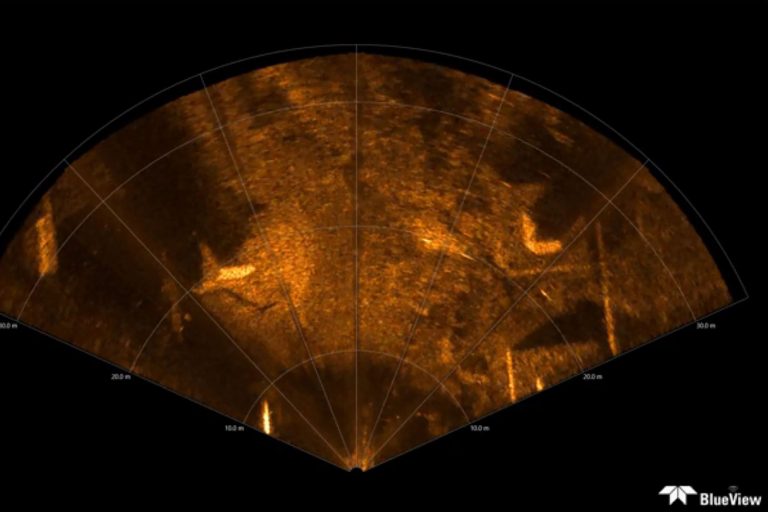
Deployable from our in-house Remotely Operated Vehicle (ROV), over-the-side mount, or bottom-mount tripod, we offer a range of 2D Imaging and 3D Scanning Multibeam Sonar services to deliver high-resolution inspection and imaging products to clients around the globe.
The 2D Multibeam Imaging Sonar unit we employ is compact, with wide 130-degree field of view capable of delivering integrated real-time sonar imaging, video and position data. The unit is typically operated while in motion mounted on an ROV or over-the-side of survey vessel but can also be deployed from a stationary position for area imaging. Typical applications include;
- Port and Harbor Areas Surveys
- ROV Navigation
- Target Detection
- Obstacle Avoidance
- Operations Monitoring
- Equipment / Tool Placement
- Search and Recovery
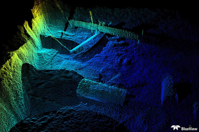
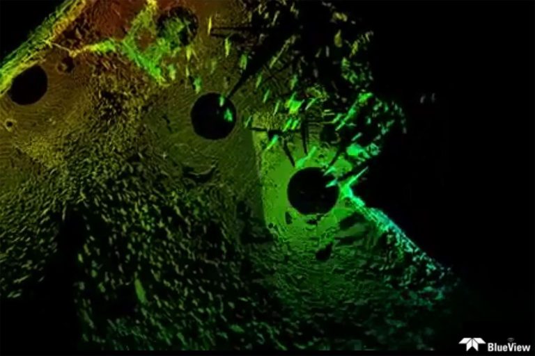
The 3D Mechanical Scanning Sonar creates high resolution imagery of underwater areas, structures and objects, even in low or zero visibility conditions. The unit can further generate a 3D laser-like Point Cloud of the underwater scene. Sector or Spherical scans are possible. Typical applications include;
- 3D Underwater Site Survey
- 3D Port and Harbor Infrastructure Inspections
- 3D Offshore Energy Infrastructure Inspections
- 3D Bridge and Embankment Inspections
- 3D Dam Inspections
- 3D Salvage Operations and Harbor Areas Surveys
- 3D Operations Monitoring
- 3D Search and Recovery
