Data Collection and Analyses
Trusted Field Data Acquisition and Visualization Services to Build Reliable Project Designs
The engineering and construction of larger, complex dredging and marine infrastructure projects, and even many smaller, conventional projects, requires thorough site characterization in order to succeed.
Lally LLC provides expertise on project-relevant physical, chemical and environmental parameters and the means to go about collecting this data. We offer a range of site data acquisition, analysis and visualization services to characterize the seabed in order to establish a solid foundation for engineering design, contracting and construction implementation.
We offer the following Field Data Collection, Analysis and Mapping services worldwide;
- Site Characterization Planning
- Data Gap Analysis
- Sampling and Analysis Plans
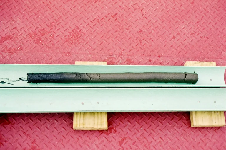
- Sediment Coring and Surface Sampling
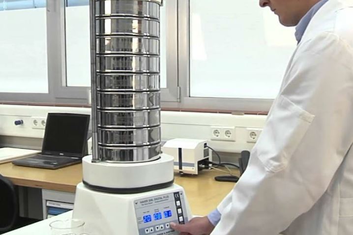
- Geotechnical Investigations and Laboratory Testing
- Bathymetric Surveys
- Beach, Surf Zone and Wetland Surveys
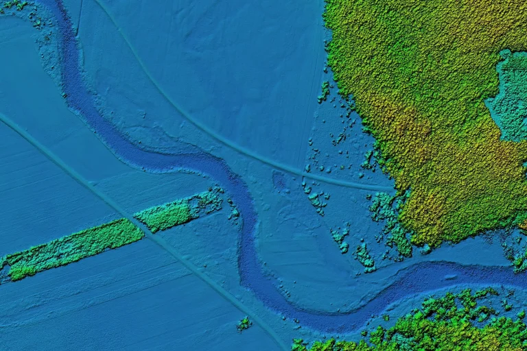
- Aerial Surveys / LiDAR
- Geophysical / Subsurface Investigations
- Debris Identification and Mapping
- Chemical Sampling and Analysis
- Geostatistical Interpolation (i.e. Kriging, Thiessen Polygons)
- Digital Soil Mapping
- Slope Stability Analysis
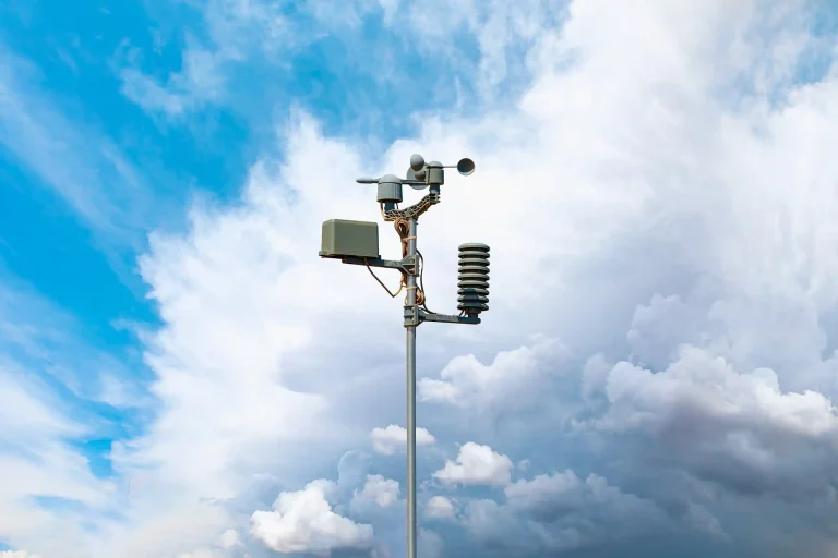
- MetOcean Data Collection and Statistics
- Tides and Currents
- Borrow Source Characterization and Mapping
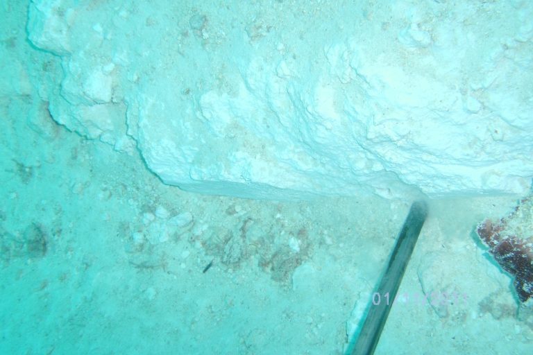
- Hardbottom and Seagrass Mapping
- Data Analytics
- 2D and 3D Visualizations
- Conceptual Site Models
- Remedial Investigation
- Debris Identification and Mapping
- Habitat Mapping
- Diver-Engineer Inspections
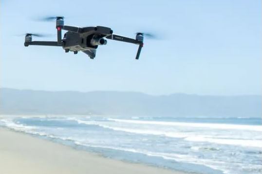
- Site Topographic Survey by UAV
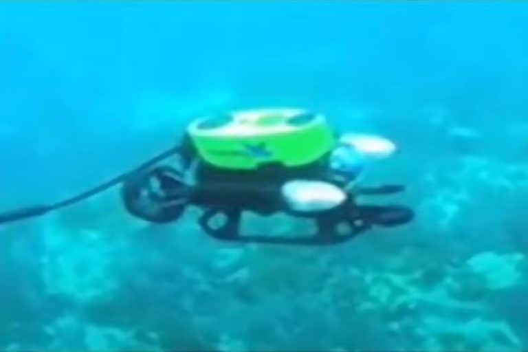
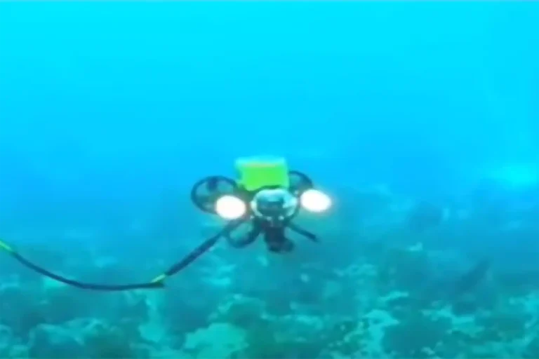
- Underwater Inspection, Obstruction and Debris Mapping by ROV
- Baseline Water Quality Measurements
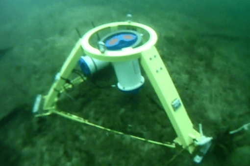
- Wave and Currents Measurements by ADCP
Whether to determine grain size compatibility for beach and wetland restoration, suitability determinations for open-water disposal, or chemical analytical testing to determine processing and confinement requirements for contaminated sediment, characterization studies are vital to the success of dredging projects.
Lally has decades of experience in the field collecting sediment samples, conducting geotechnical and bench-scale testing in the laboratory, and building and executing sampling and analysis plans for capital works, channel maintenance, offshore mining, beach and wetland restoration, and contaminated sediment sites.
We offer the following sediment characterization services worldwide;
- Site Reconnaissance
- Sampling and Analysis Plans
- Sediment Coring and Surface Sampling
- Geotechnical Sampling and Laboratory Analysis
- Subsurface Investigations
- Borrow Source – Shoreline Sand Compatibility Analysis
- Hardbottom Mapping
- Dredge Elutriate, Leachate and Turbidity Testing
- Chemical Sampling and Analysis
- Geostatistical Interpolation (i.e. Kriging, IDW, Thiessen Polygons)
- Open Water FATE Modeling
- Plume Modeling
- Data Analytics
- 2D and 3D Visualizations
- Conceptual Site Models
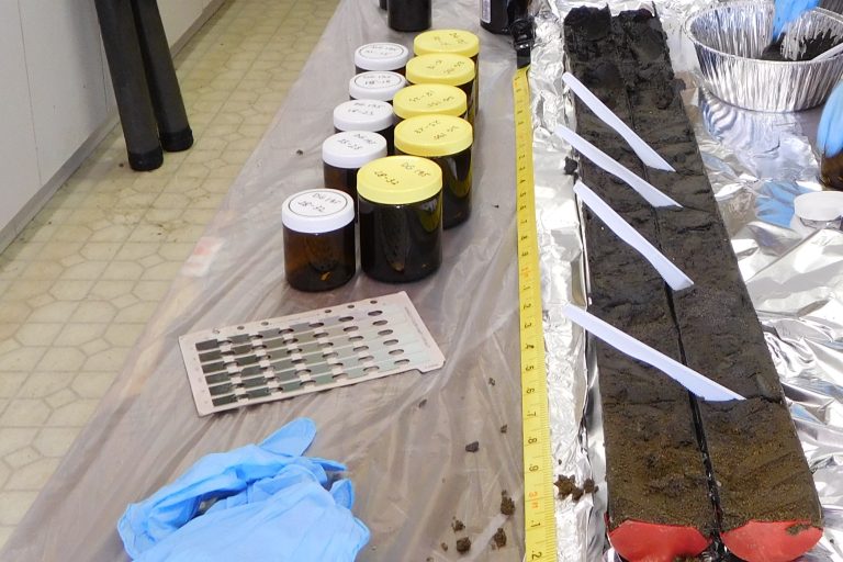
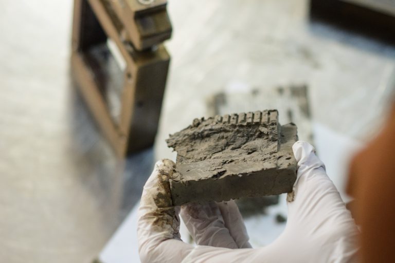
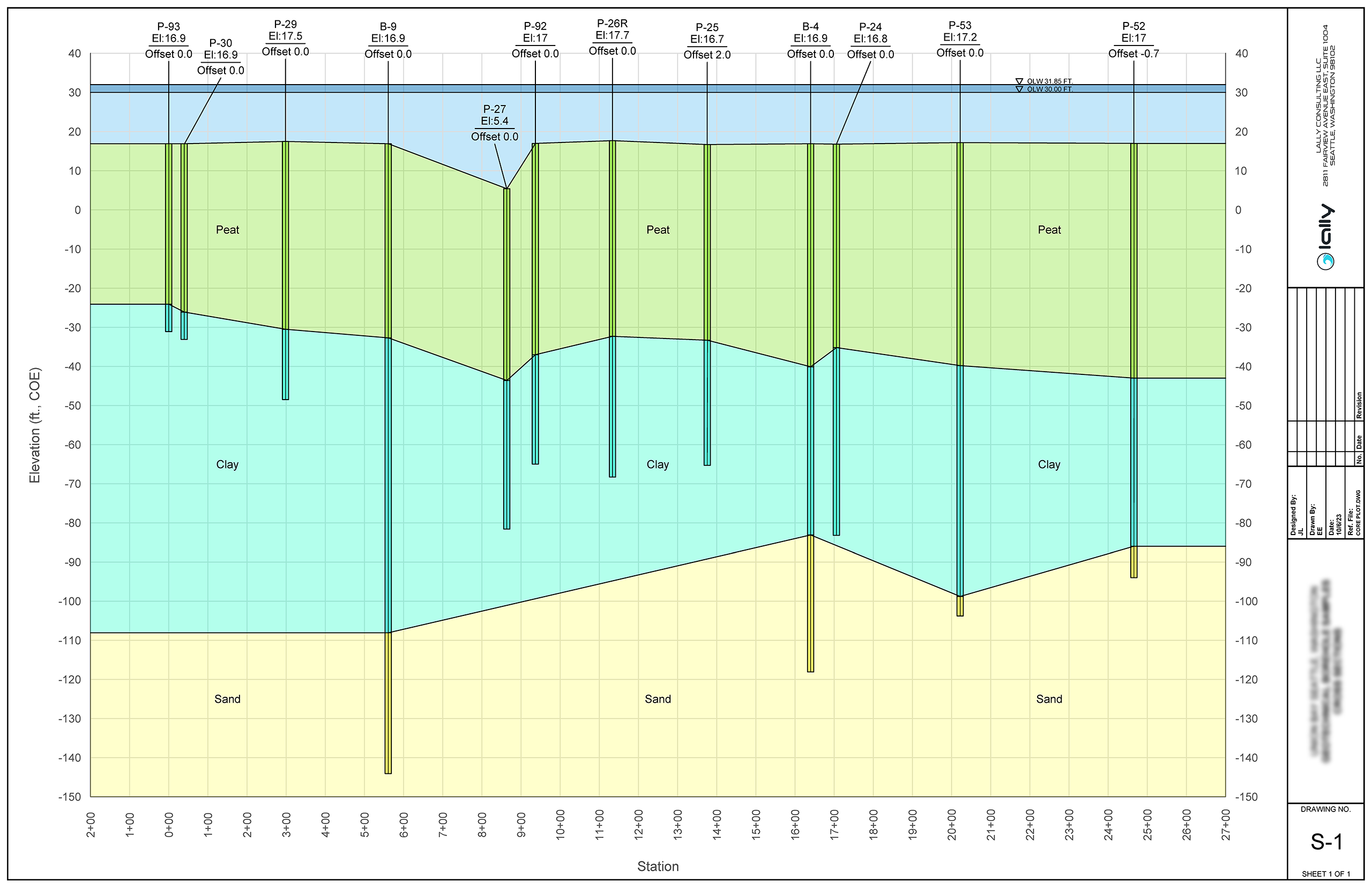
A solid understanding of physical sediment conditions as they lie on the seabed is of critical importance to the planning and execution of dredging and marine infrastructure projects. Serving in the Estimating and Production Engineering departments of large dredging contractors, and as engineering consultant, Lally performed geotechnical laboratory testing and developed useful means of presenting soil data specifically for dredging projects.
We build digital soil models using accepted geostatistical interpolation techniques and state-of-the-art software incorporating surface grab, soil boring or subbottom profiling data we collect on site or commission.
For usable results, it is important to apply data quality objectives (DQOs) to account for data reliability, perform field calibrations properly, understand the limitations of geostatistical interpolation techniques, and fill data gaps as appropriate.
The digital soil models we produce inform decision-making on the best construction equipment and methods to apply, reduce risk, and ultimately save substantial capital.
To convey marine infrastructure and waterfront development designs with clarity, Lally LLC has developed in-house 3D Visualization Graphics capabilities using high power GIS mapping and engineering software systems.
Visualization Products we now offer include;
- 3D Sampling Maps
- 3D Conceptual Site Models
- 3D Master Planning Models
- 3D Waterfront Design Overlays
- 3D Video Fly-throughs
- Before-After Imaging
- Landscaping Alternatives
- Color, Pattern and Natural Material Swatches
- Lidar, Hydrographic, and Laser Scanning Surveys
- Building Information Modeling (BIM)
To assist estimating workability windows, operational efficiency and safety, we produce site studies which utilize high-quality meteorological and oceanographic (MetOcean) data to determine daily and extreme conditions.
For more localized site data to assist with planning and operations, we can design and install real-time monitoring systems for the measurement of key meteorological and hydrodynamic parameters like tides, currents, waves, and windspeed. Threshold values can be established to trigger notifications on many of the sensor systems we employ to enable rapid response to hazardous conditions.
Working on lakes, rivers, coastal or offshore sites, as a standalone service or site reconnaissance through construction and O&M, Lally LLC offers a wide variety of specialized remote sensing and conventional technologies to accomplish various data acquisition tasks, including;
- Underwater Inspection, Obstruction and Debris Mapping by ROV
- Site Topographic Survey by Unmanned Aerial Vehicles (UAV)
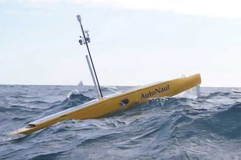
- Site Bathymetric Surveys by Unmanned Surface Vehicles (USV)
- 2D Imaging and 3D Mechanical Scanning Multibeam Sonar
- Baseline Water Quality Measurements by Remote Buoy
- Wave and Currents Measurements by ADCP
- Underwater Video Systems
- Habitat Mapping
We can also set ground control and coordinate photogrammetric mapping using conventional aircraft to produced large-scale mapping surveys for a variety of project types including new marina and subdivision development, mapping shorelines, and port master-planning.
We complete inspections safely and efficiently, with a deliverable package including high definition video, photos and written report based on client requirements.
